
The South Central Tennessee Development District (SCTDD) is proud to announce the launch of a new regional planning initiative focused on the Duck River watershed.
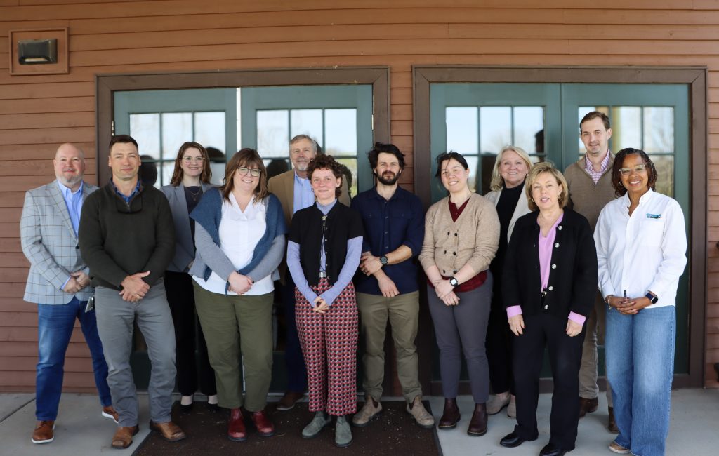
Members of the Advisory Team
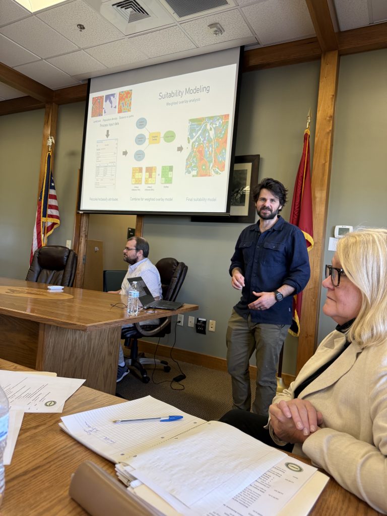
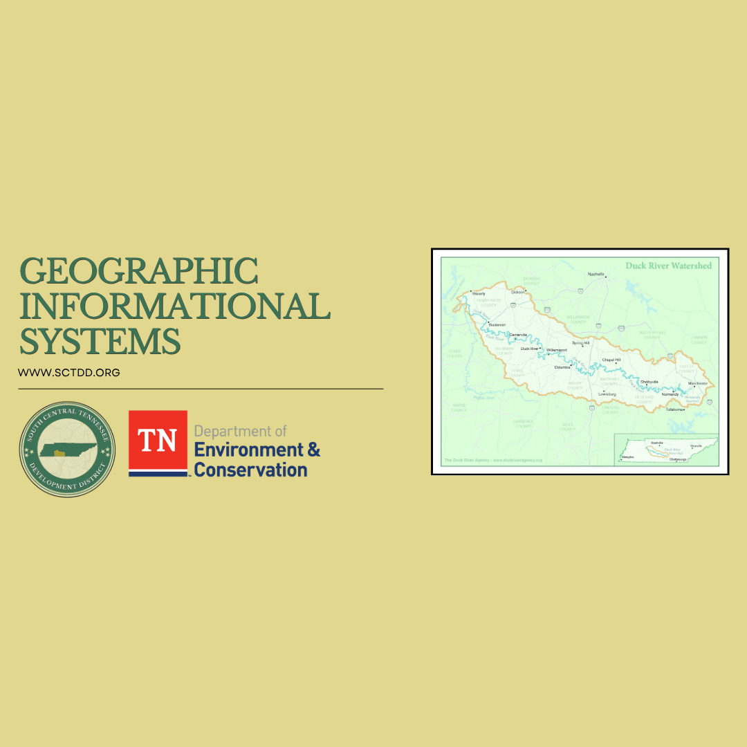
Made possible through a 604(b) Planning Grant from the Tennessee Department of Environment and Conservation, this effort will establish a GIS (Geographic Information System) Planning and Decision-Support Hub with GIS Mapping and Overlays prepared by the University of Tennessee at Chattanooga.
This initiative is designed to strengthen how communities across the region plan for growth, manage water resources, and protect water quality. By bringing together data on land use, infrastructure, population trends, and conservation opportunities, the GIS Hub will provide local governments and partners with the tools needed to make more informed, collaborative decisions.
The Duck River watershed will serve as the focus of this pilot project, supporting coordination among local governments, utilities, and regional stakeholders. Through improved access to accurate, up-to-date information, SCTDD aims to enhance planning efforts that balance economic development, infrastructure needs, and environmental stewardship.
As one of the region’s most important natural resources, the Duck River plays a critical role in supporting communities, ecosystems, and local economies. This initiative represents a proactive step toward ensuring its long-term sustainability through data-driven planning and strong regional partnerships.
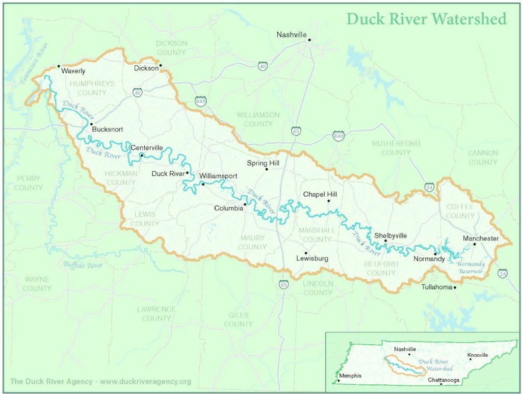
Duck River Watershed
Media Contact:
Sydney Brewer, Marketing & Communications Director
sbrewer@sctdd.org

